ADVERTISEMENT
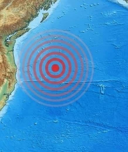
The Cascadia subduction zone stretches from northern California through Oregon and Washington state up to British Columbia. It is roughly 1,000 kilometers long and is considered one of the most significant seismic hazards in North America.
It produces very large earthquakes but very infrequently
It is relatively quiet in terms of frequent damaging events
It has a history of producing “megathrust” earthquakes
Unlike some other subduction zones (such as those in Japan or Chile), Cascadia does not produce many moderate-to-large earthquakes on a regular basis. This relative quietness can be misleading: it often indicates that stress is accumulating over long periods.
6. The Historical Benchmark: The Year 1700 Earthquake
One of the most important clues about Cascadia’s behavior comes from historical and geological evidence of a massive earthquake that occurred in the year 1700.
What makes it remarkable:
Estimated magnitude: around 8.7–9.2
Ruptured the entire Cascadia subduction zone
Generated a trans-Pacific tsunami
Was recorded indirectly in Japanese historical documents due to “orphan tsunami” waves
Left geological evidence in coastal sediments and drowned forests
This earthquake is the clearest proof that Cascadia is capable of producing a truly catastrophic megathrust event.
Scientifically, the answer is nuanced:
7.2 Stress transfer is complex
A moderate quake can slightly change stress in surrounding faults, but whether this increases or decreases the likelihood of a larger rupture depends on geometry and timing.
So while a magnitude 5.8 earthquake is interesting, it is not by itself evidence of an imminent megathrust rupture.
8. How Seismologists Detect and Analyze Such Events
ADVERTISEMENT
